SOLAR ENERGY APPLICATIONS
Solar energy applications | solea is a research group of the Institute for Environmental Research and Sustainable Development (IERSD) of the National Observatory of Athens in Greece that deals with energy transition, solar plants exploitation and penetration into society. Solea provides operationally and in real-time solar radiation and energy data in terms of historical (>10 years), nowcasts (0 – 6 hours ahead) and forecasts (1 – 5 days ahead).
the evidence for climate change is now incontrovertible
Several actions point to the fact that a more climate-resilient economy and society must be built in each country, such as measures aimed at reducing fuel consumption for energy production, emphasis on energy efficiency and conservation as well as on power generation from renewable sources such as the Sun.


FOR ACCURATE SURFACE SOLAR INSOLATION FORECASTS, WE NEED TO UNRAVEL THE COMPLEXITY OF THE ATMOSPHERE
Our research effort has been geared toward developing and providing a complete suite of solutions and applications for the calculation of surface solar radiation spectra at high resolution using Earth Observation technologies.
BEHIND THE MAPS LIES DEEP SCIENCE
Within the IERSD/NOA’s APCG group and in the framework of the action THESPIA under the call KRIPIS and the project Aristotelis-SOLAR, an ultra fast radiative transfer system has been developed for solar irradiation estimations at the Earth’s surface. The result is analytical spectral information of the solar power and energy, whatever the weather and conditions.

BEYOND CENTER OF EXCELLENCE
Within the IAASARS/NOA’s BEYOND Center of Excellence, advanced technical capacities of Earth Observation based services in combination with the scientific knowhow of previous projects including solar measurement, radiative transfer models and machine learning techniques, laid the groundwork for the next projects on solar energy exploitation and promotion.
GEO-CRADLE PILOT
The NOA in collaboration with the PMOD/WRC optimized and applied the scientific and technical knowhow of previous projects as one of the main pilots of the HORIZON’s 2020 GEO-CRADLE project, the so-called Solar Energy Nowcasting SystEm (SENSE). SENSE was a starting point for solar energy related investments, strategies and innovative high-end applications and technologies.


EUROGEOSS SHOWCASE
The nowadays nowcasting and short-term forecasting techniques have been evolved further through the EuroGEO e-shape project as the so-called nextSENSE pilot. The e-shape supported the development of an holistic solar energy management service useful for the European and North African solar energy producers and handling entities. See here some frequently asked questions.
DUST IMPACT ON SOLAR ENERGY
In the framework of the COST’s action inDust, the impact of dust aerosol on solar energy management and planning has been studied through the short term scientific mission called “Finding“, focusing on the North African region.

SMART RENEWABLE CITIES
With support from the ERAPLANET SMURBS project, the modern solar energy production management and modeling approaches have been highlighted with the SOLEATHENS service promoting the urban renewable solutions adaptability (e.g. rooftop photovoltaics), in terms of optimum and viable ways for shifting from current cities to smart renewable cities.
CYPRUS SOLAR RADIATION LABORATORY
In the framework of the Excelsior project, a complete knowledge transfer from NOA and PMOD/WRC to CUT will be performed in solar radiation and energy science (satellite and ground-based measurements, modelling and forecasting) introducing the Cyprus Solar Radiation Laboratory.

PHOTOVOLTAIC PENETRATION IN URBAN AREAS
With support from the Eiffel project, a 3D solar energy representation for the city of Athens is under development simulating the ray tracing and shadow casting by exploiting advanced real-time 3D graphic creation platforms, fast radiative transfer models and ultra-high resolution tri-stereo digital surface models.
The journey of a photon
This video illustrates the contribution of the Energy Working Group of EuroGEO for GEO Sprint to Ministerial action at the GEO Ministerial Summit in Canberra, Australia in November 2019. The journey of a photon story is a trajectory of a photon into the various layers of the atmosphere. Each time the photon cross a given layer of the atmosphere a corresponding EO data product is mention and explained (e.g. ozone, UV top atmosphere layers, solar radiation at ground level for PV application and up to roof top level). Main European EO resources are mentioned (e.g. Copernicus) and main EO funded projects supporting the Energy segment are addressed (e.g. e-shape).
Smart Renewable Cities
To diminish the carbon footprint of cities, green energies shall be more and more integrated into the power grids of cities. This video is part of the Eurisy’s Space for Cities workshop (27 October 2020) and presents two emerging applications based on satellite data that could support cities to increase the use of solar energy.
Comecap 2021
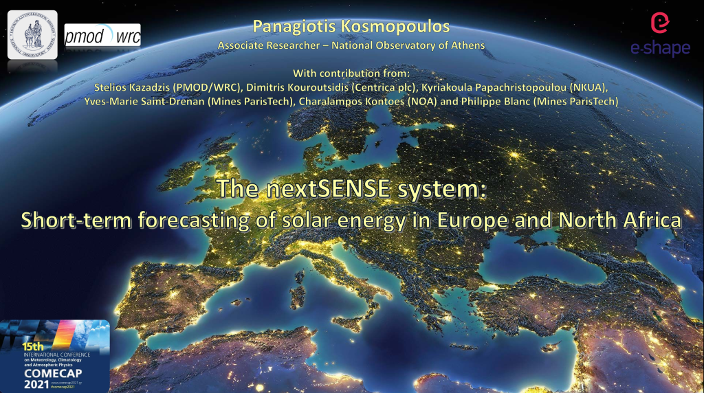
The nextSENSE pilot of the eshape project was presented at the 15th International Conference on Meteorology, Climatology and Atmospheric Physics at Ioannina (Greece).
User and Technology Talks – Energy
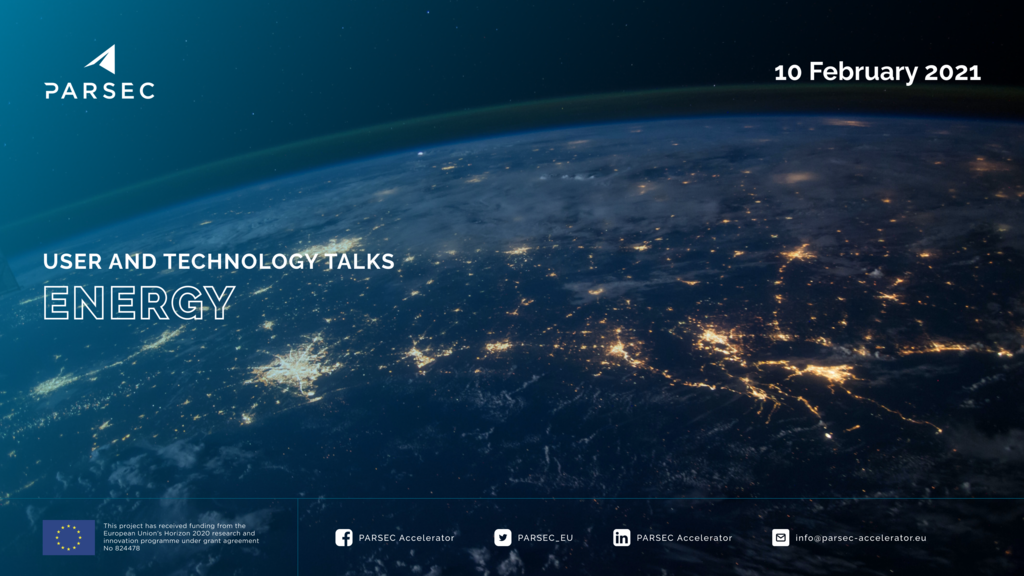
The User and Technology Talks of PARSEC aim at creating connections between the satellite Earth Observation SME community and potential end users who can benefit from cutting-edge solutions. Several representatives of the energy sector were invited to join a discussion panel and identify and share sector related needs and challenges. Alongside, our Earth Observation (EO) expert presents the status of the use of EO in this sector and suggests possible solutions.
50000000
RECORD ANALYTICAL LOOK-UP TABLE OF RTM SIMULATIONS
2550000
MB OF BIG DATA PRODUCTION PER DAY
120000000
PIXELS OF INSOLATION SPECTRA & UV PRODUCTS PER MINUTE
360
MINUTES SHORT-TERM FORECASTING OF SOLAR ENERGY EVERY 5-MINUTES
applications

This solar cadastre application estimates the rooftop photovoltaic energy potential for the city of Athens in Greece in order to support the urban planning, the smart grids management and the energy transition. The user is able to dynamically retrieve climatological and real-time information for solar energy exploitation at the urban scale.
This real-time service continuously monitors the solar power in Europe and North Africa by providing open access maps and data every 15-min in high resolution.


This state-of-the-art service forms a modern energy management platform that continuously monitors and short-term forecasts the solar energy in Europe and North Africa in real-time. The user through the fully dynamical interface can navigate, zoom and click at any pixel of the 1.5 million matrix retrieving solar energy potential information for 3 hours ahead and 3 hours back time horizons at 15-min intervals.
This dynamic solar atlas service provides climatological information of solar power, energy and precision agriculture for Greece, Cyprus and Egypt.


This website together with a EUMETSAT based Solar Radiation Atlas was developed in the framework of the GEO-CRADLE project in support to the Egyptian Ministry of Electricity and Renewable Energy, in order to disseminate the Earth Observation capabilities for the local energy managing authorities and renewable energy investors .
This service provides climatological maps of solar power for the region of Greece based on a 15-year climatology of the Direct Normal and Global Horizontal Irradiances (DNI and GHI respectively). The solar atlas radiation data are from the EUMETSAT’s Satellite Application Facility on Climate Monitoring (CM SAF).

end-users


capacity building
In each 3 x 3 km pixel of the Earth disc seen from the geostationary satellite Meteosat (MSG4), we monitor and forecast the global horizontal irradiance (GHI), the direct normal irradiance (DNI) and the diffuse horizontal irradiance (DHI) spectrum over the wavelength range 285-2700nm every 5 minutes.


By applying erythemal weighting functions to the ultraviolet part of the irradiance spectra, the UV index, the estimated dose of Vitamin D and the photosynthetically active radiation is instantly calculated.
An active line of solar energy exploitation involves the development of high resolution solar atlases. The GHI atlas mapping applies to the PhotoVoltaic installations (PV), while the DNI mapping applies to the Concentrated Solar Power plants (CSP).


The solar energy production losses of all scale PV and CSP installations is simulated by using shadow mapping and sky view factor calculations. The necessary digital surface and 3D modelling was performed with Google Earth.
contact

Panagiotis G. Kosmopoulos
Institute for Environmental Research and Sustainable Development,
National Observatory of Athens (IERSD/NOA), Greece